Air Navigation Racing in Brisbane
2019-10-02
Air Navigation Racing in Brisbane
check out this video
and more

Air Navigation Racing in Brisbane
check out this video
and more

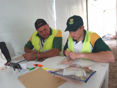
Most competitors arrived by 8.00 on Saturday morning to first enjoy the Harvard breakfast, thereafter briefing and plotting. The weather forecast looked promising with clear skies with 10+ kts wind later in the morning, which proved to become somewhat blustery closer to midday.
The route was planned to go out north, into familiar territory for the competitors as most of the legs were in their GF backyard. The start and finish points were just north of the N14 in the narrow Special Rules corridor between the Waterkloof & Lanseria airspace, and from there the route went out over the Hartebeespoort dam, across the Magalies ridge and into the scenic Crocodile river valley, then east across to Soshanguve and back across the ridge to the finish.


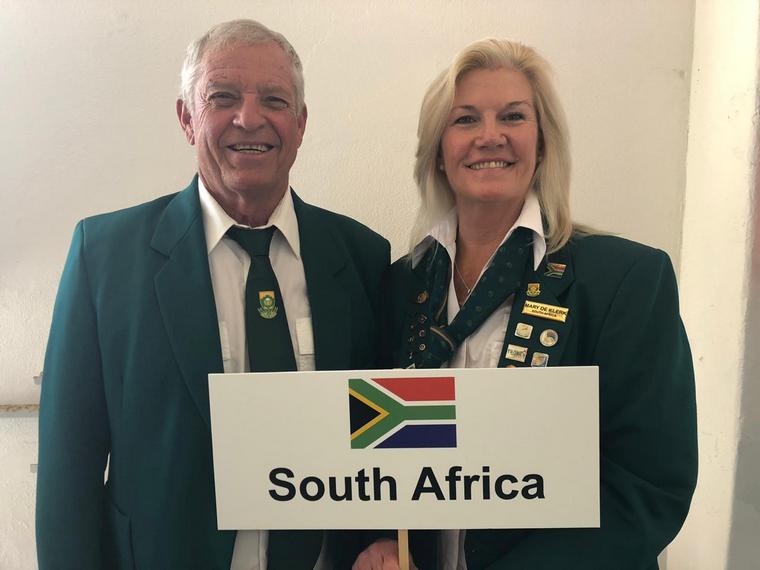

Mauritz du Plessis and Sandi Goddard
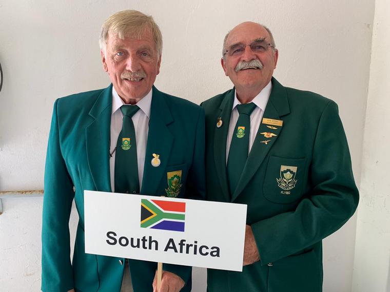
Hans Schwebel and Ron Stirk
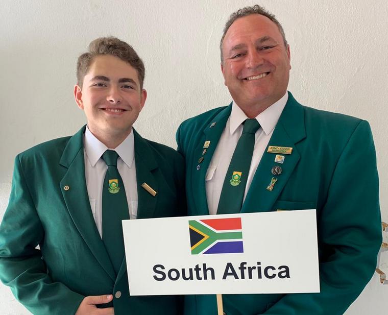
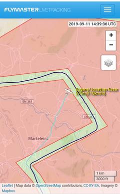
Jonty and Eugene Esser

Anthony and Pamela Russel
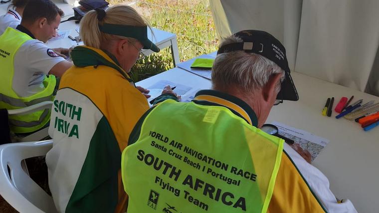
The weather throughout most of the championships boasted blustery winds, typical to coastal regions, but was not what the teams from South Africa were used too, as were the maps that they were issued for planning purposes. However, after the practice days, during which approximately 200 training flights were flown in which all competitors had the opportunity to practice navigation routes and precision landings, they were confident that they would do well.